73 BALDPATE HILL RD
Owner Information
KRAMER ADAM
73 BALDPATE HILL RD
NEWTON, MA 02459


Property Details
73 BALDPATE HILL RD is classified as a Single Family Residential (Colonial).
The primary structure on this property was built in 2012. There are 12,424ft2 of built area within this property. There is 6,974ft2 of residential/living space within this property. This property is listed as having 16 rooms.
73 BALDPATE HILL RD is valued at $4,971,700. The land is valued at $1,248,400 and the structures are valued at $3,723,300.
This property is in Zone SR1. Confirm with local Zoning Board authorities to ensure there are no overlays or other easements on this property.
The most recent deed for 73 BALDPATE HILL RD is recorded at the local registrar in Book 1412, Page 86. 73 BALDPATE HILL RD was last sold on Thursday, March 1, 2012 for $1,437,500.
Assessment data from fiscal year 2022.
Flood Data
According to the FEMA National Flood Hazard Layer, this property does not appear to be in a flood zone. It may also be in an area not yet reviewed. Nonetheless, confirm this information prior to taking any action.
To view the flood hazards around this property, create a FEMA "Firmette" Map of the area around 73 BALDPATE HILL RD.
Broadband Internet Providers
| Provider | Type | Bandwidth (mbps) | |
|---|---|---|---|
| Comcast | Cable | 1000 | 35 |
| Viasat Inc | Satellite | 100 | 3 |
| RCN | Cable | 500 | 20 |
| RCN | Cable | 1000 | 20 |
| GCI Communication Corp. | Satellite | 0 | 0 |
| HughesNet | Satellite | 25 | 3 |
| VSAT Systems, LLC. | Satellite | 2 | 1 |
| Verizon New England Inc. | DSL | 5 | 0 |
| Verizon New England Inc. | Fiber | 940 | 880 |
Broadband service provider data from December 2020.
Adjacent Properties
- 85 BALDPATE HILL RD
Developable Residential Land owned by 85 BALDPATE HILL RD LLC - 59 BALDPATE HILL RD
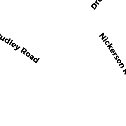
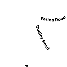
Single Family Residential owned by KRUSKAL JONATHAN B & PAMELA - 447 DUDLEY RD
Single Family Residential owned by THOMAS JOHN & MARY - 459 DUDLEY RD
Single Family Residential owned by MINDLIN MICHAEL - 471 DUDLEY RD
Single Family Residential owned by KESTENBERG MATIE TR - 481 DUDLEY RD
Single Family Residential owned by TKEBUCHAVA TENGIZ & KHATUNA